

![]()
Albert Chen
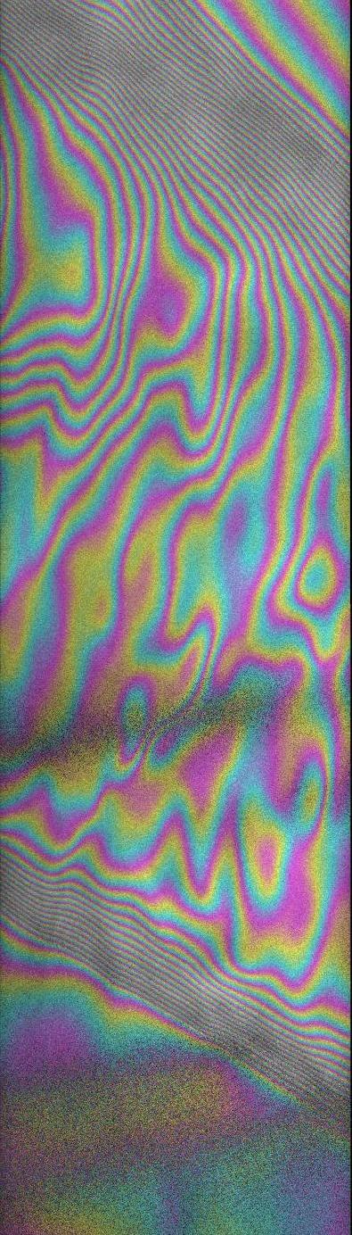 |
My research uses spaceborne synthetic aperture radar
instruments to characterize properties and changes in the
Earth's surface. Phase measurements from interferometric
synthetic aperture radar (InSAR) are particularly valuable
for making precise measurements of surface deformation or
inferring surface properties. The Advanced Land Observing Satellite (ALOS), launched in 2006, has yielded particularly interesting data. The ALOS SAR instrument (know as PALSAR) features the ability to transmit and receive both horizontally and vertically polarized L-band (23.6 centimeter wavelength) microwave signals. This permits interferometric and polarimetric measurements of vegetated and snow-covered areas that would be difficult or impossible with previous SAR instruments such as ERS. One interesting application of InSAR that I've been working on is studying and monitoring glaciers. Changes in the Greenland and Antarctic ice sheets are key indicators of climate change, but are not easily observed by field campaigns. Radar remote sensing therefore provides a practical way to observe large areas of Greenland and Antarctica. The figure on the left shows interferometric phase measurements of the part of the Greenland ice sheet shown in red below. The fringes here can be mainly attributed to ice flow. 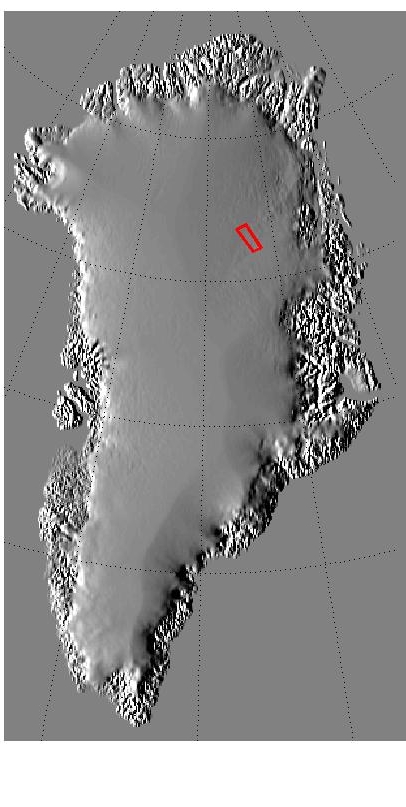 |